Here are some pictures, and a summary of a camping trip I went on with my Dad last weekend.
Friday
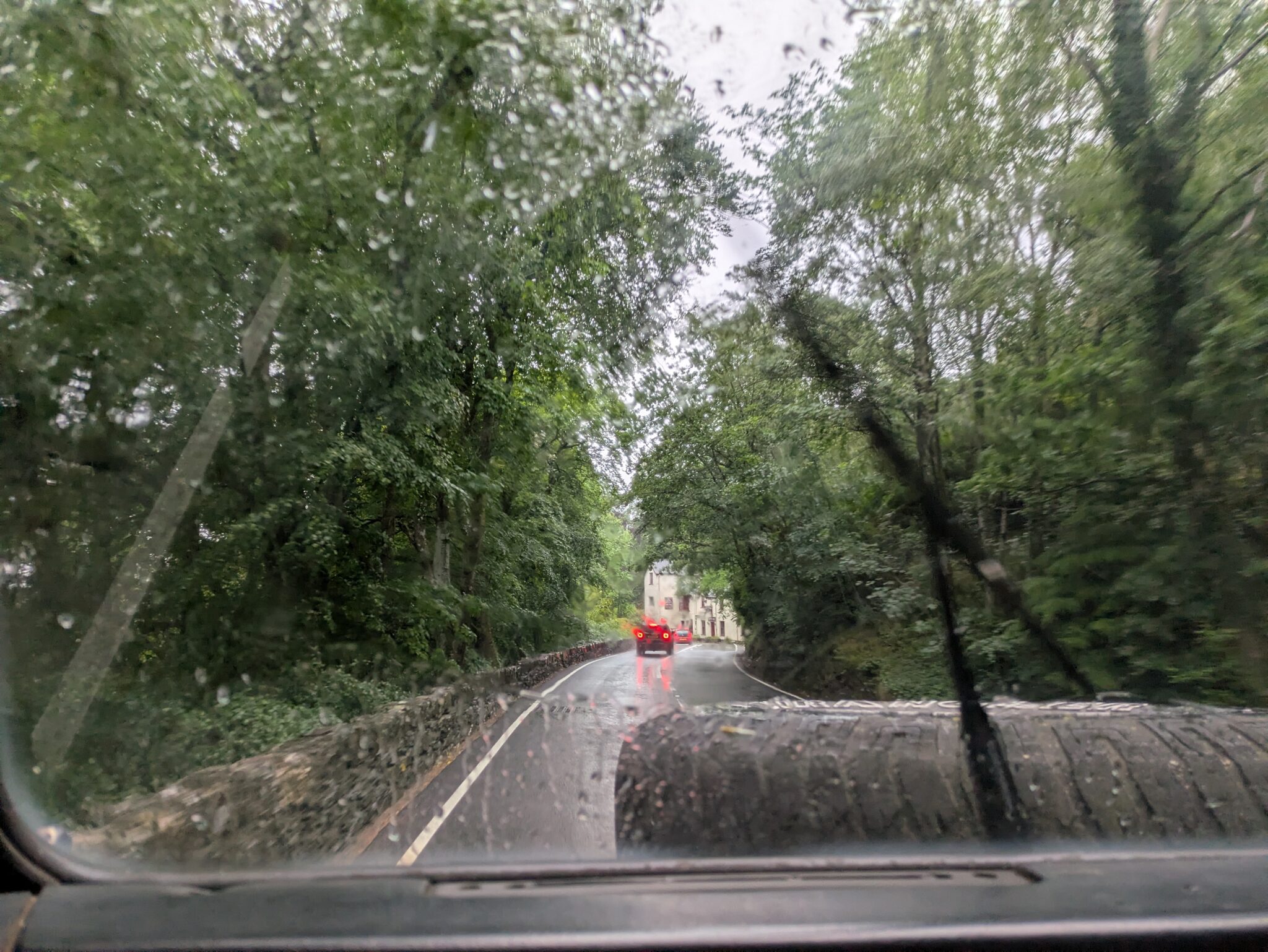
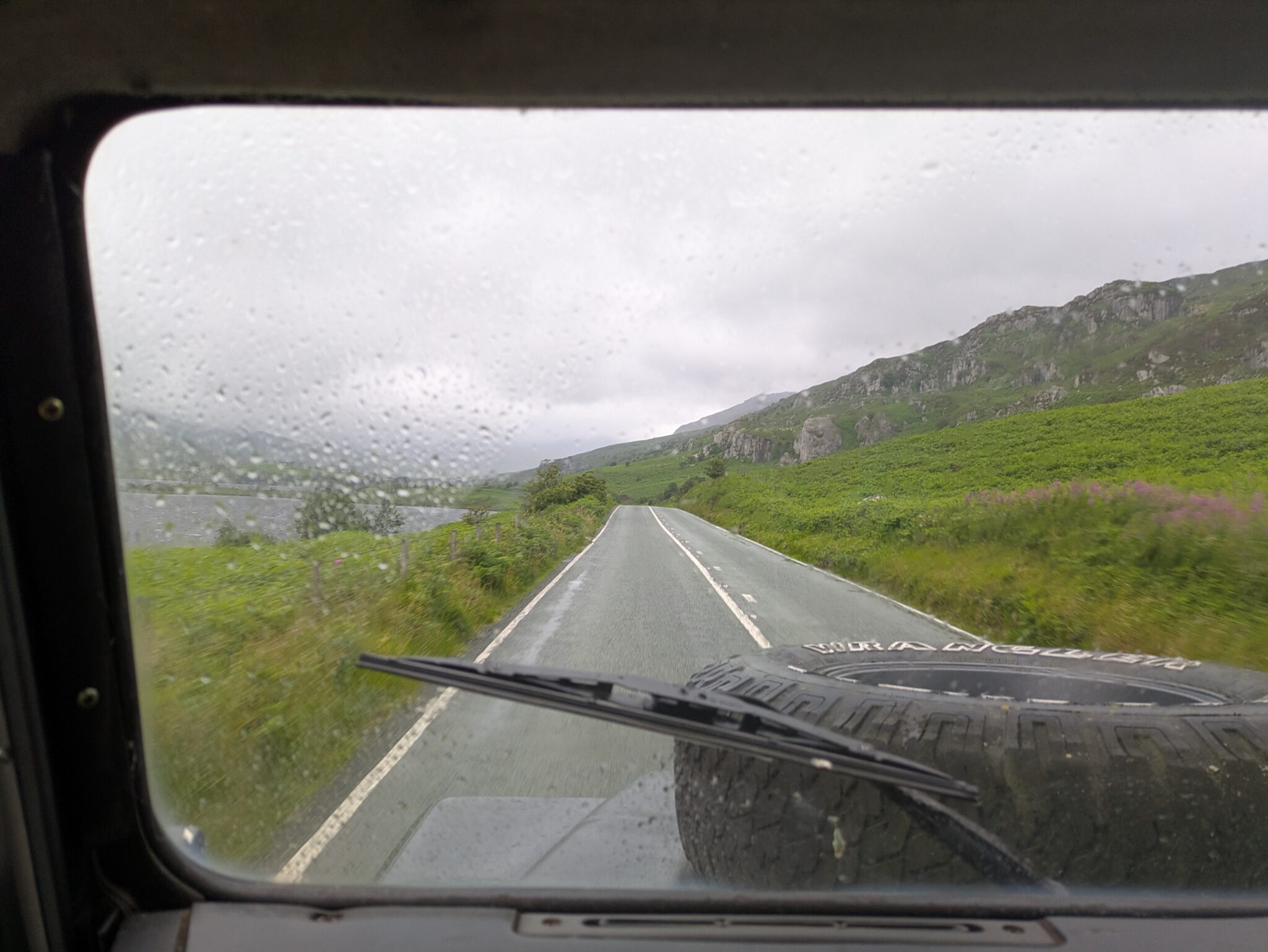
We went up on the Friday, leaving early afternoon, and arriving mid evening. As we went it was quite rainy and windy.
But we had already decided to camp near a reservoir a few kilometres, so we ended up walking through the worst of the storm. We got most of the way up the route, but in the last kilometre before the reservoir, the footpath became quite boggy and hard to discern from the surrounding landscape. By the time we made camp, it was very wet and dark, so I was unable to get any photos.
Saturday
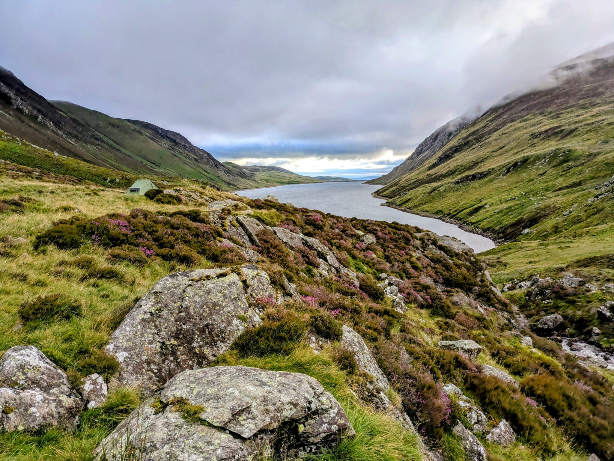
Saturday was when we did all of the walking. The storm had mostly left by this point, leaving only wind. We were up by 7ish, and had packed away camp and breakfasted by 8.
While having breakfast it looked amazing:
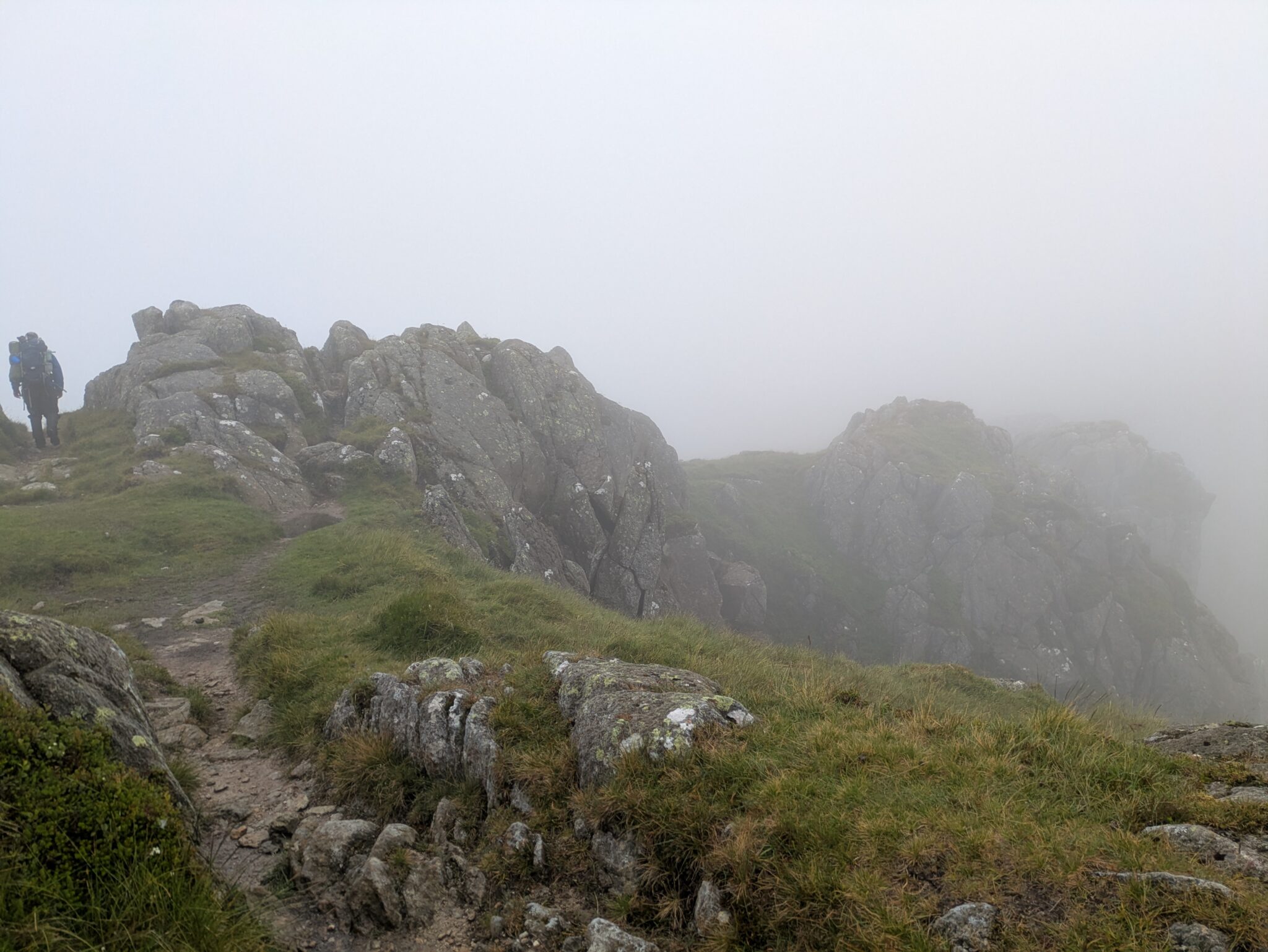
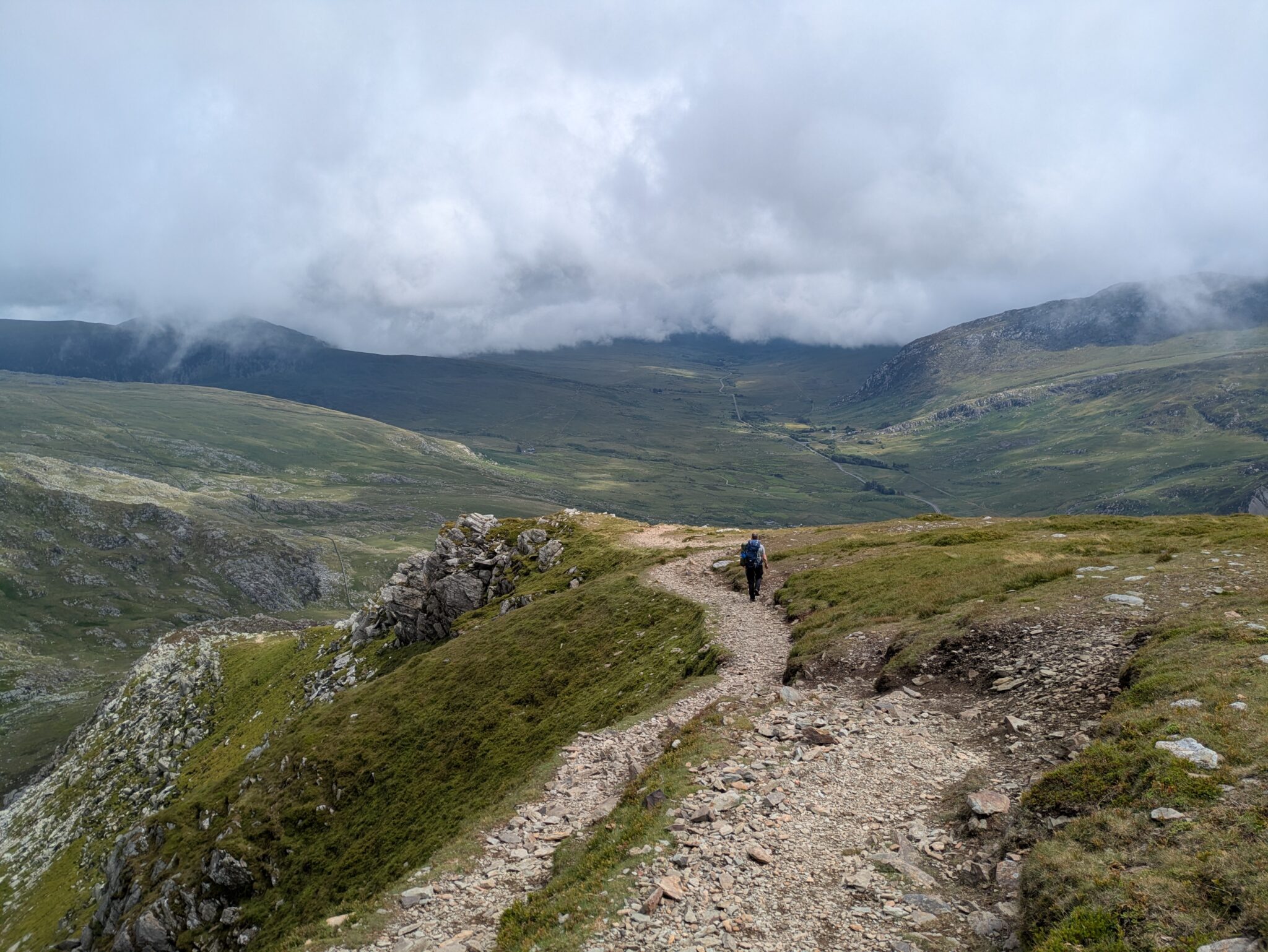
Saturday was also the day we did all of the walking, we started following some form of canal until we were at the foot a ridge which led to Pen yr Helgi Du. We then followed it up to the peak. The clouds were relatively low all day, so most of the pictures from the peaks were foggy.
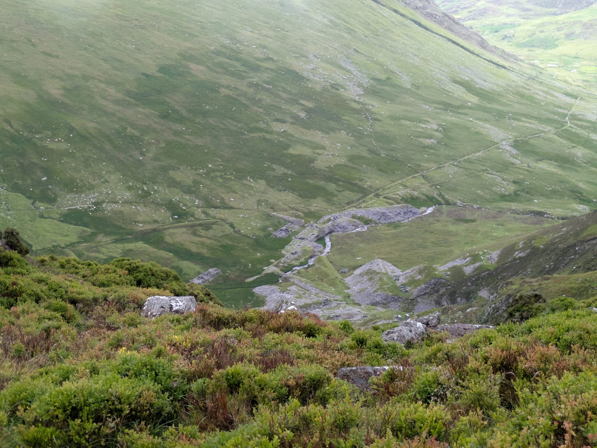
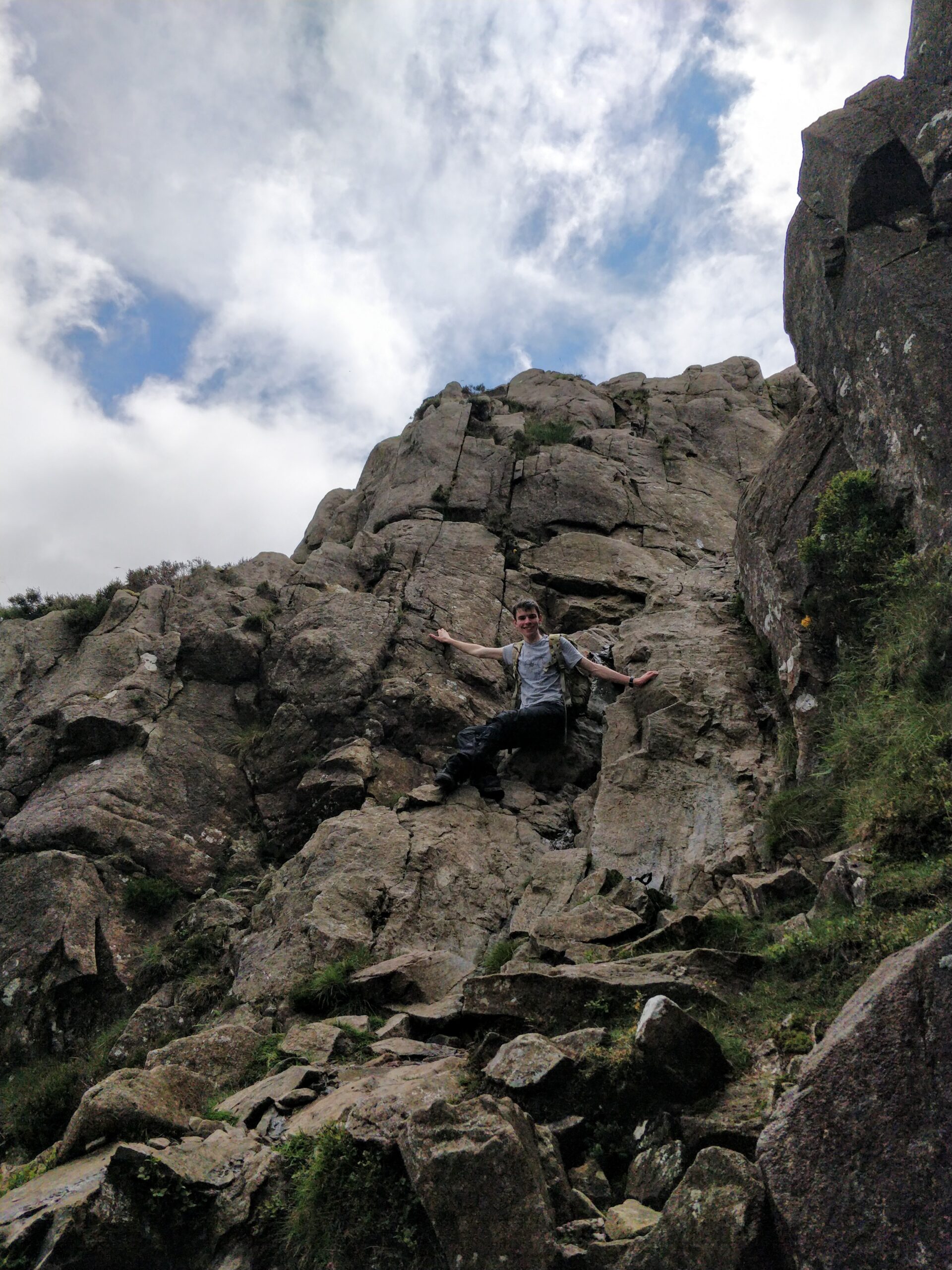
We followed the ridge line to Carnedd Llewelyn, our first peak of the day. This stretch dipped down a few hundred metres before the climb, just below the clouds, giving us a view of the landscape. This rapid descent and ascent lead to some pretty difficult terrain.
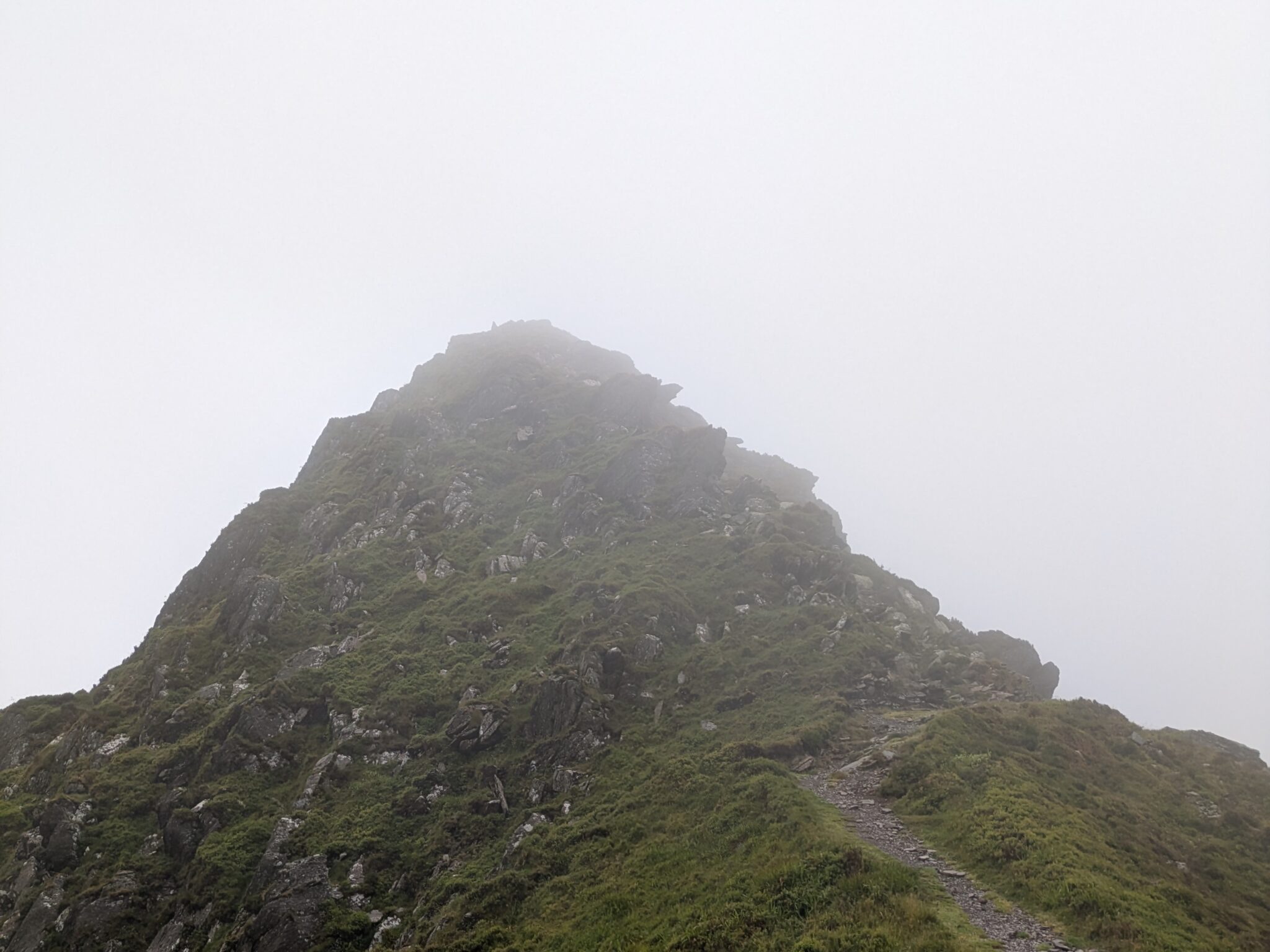
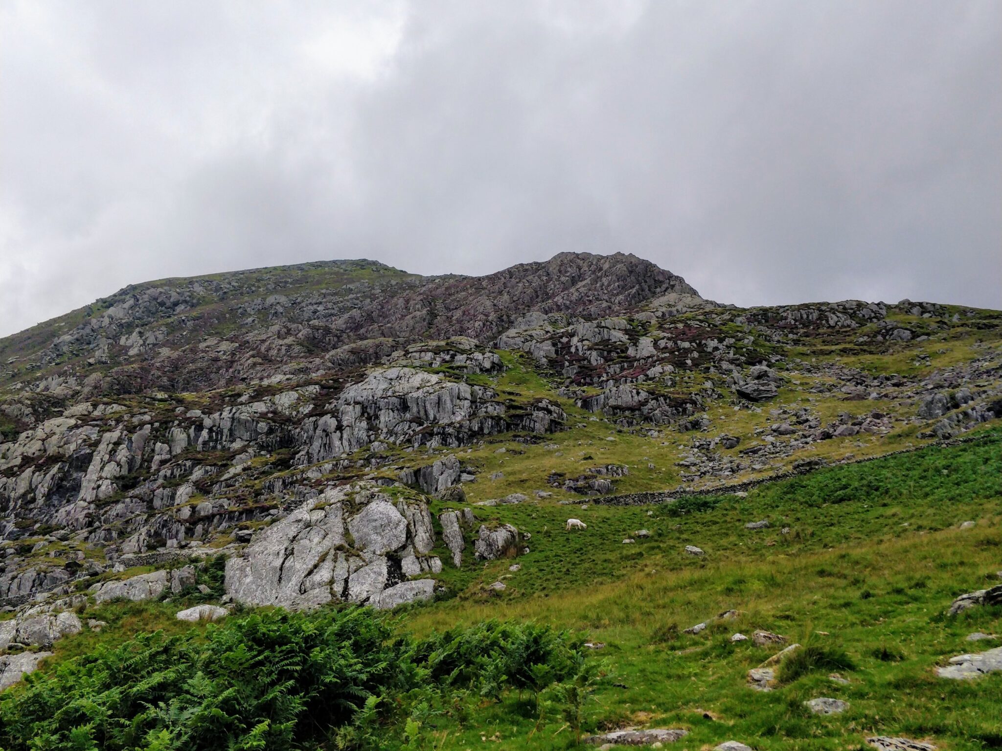
Past that, it was a lot easier of a climb. The wind was a bit faster at the top, and visibility was low, but the width of the path was a lot easier to stomach. At the peak we stopped for lunch and a break in a cairn. This was the highest point of the trip, at 1064 metres, making it the second tallest mountain in Wales!
After this we began our descent, via Carnedd Dafydd (1044 metres, making it the third tallest mountain in Wales). This was relatively uneventful, although I will note the further along the track we went, the busier it got. Not hundreds of people, but it was a stark contrast to the morning, where we only saw three other people.
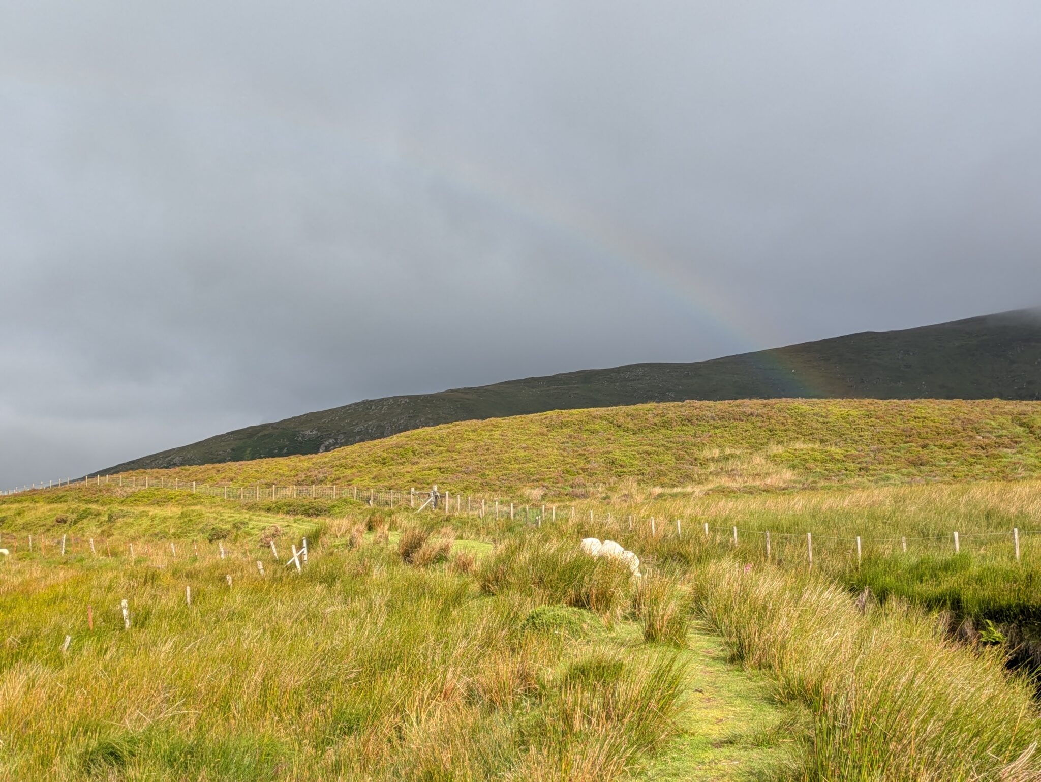
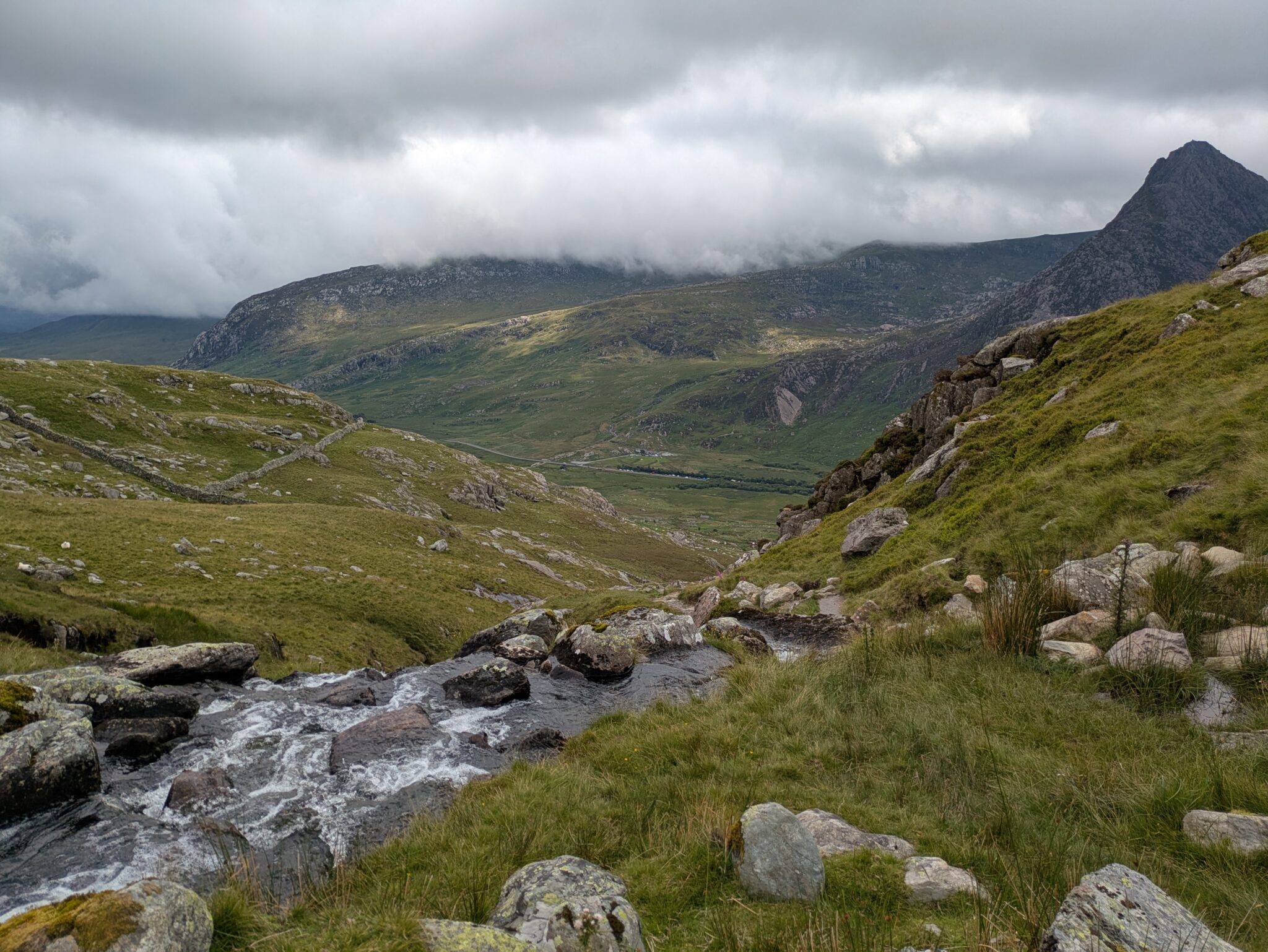
After the peak Pen yr Ole Wen was another steep descent. The clouds had also started to rise too, so we were greeted by some beautiful views.
This section was steeper than expected, and did not seem much like a path at some points because of the climbs, but lead us to a calm spot to take a break at the foot of the ridge, next to a stream.
At this point it was getting late in the day, and so we decided to change the route. We had originally planned to climb up Tryfan and camp down somewhere in the hills. But tiredness, and looking at the route ahead of us, walking around the base of the group of hills, back to the campsite we had started at.
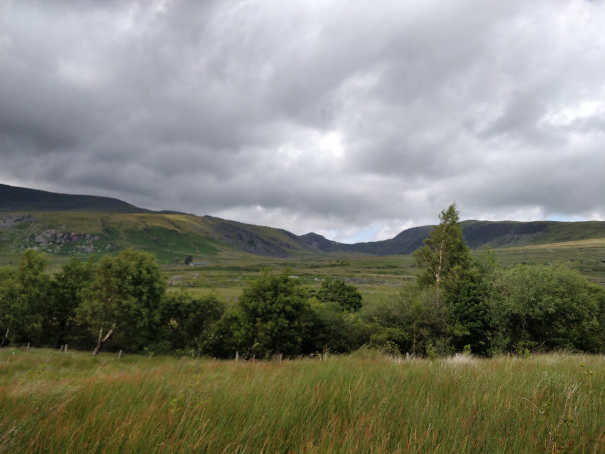
The rest of this travel was just following a relatively level footpath back. We were graced by blue skies and warm sun, making this section a lot more relaxing. It was also a good opportunity to see the route we had just walked.
When we returned to the campsite, we were both exhausted and decided we would head home on Sunday, rather than go and walk another loop elsewhere.
Sunday
In the morning, the weather seemed to agree with our decision as it started to rain again, and the wind had picked up a bit.
Overall, mapping the route out online afterwards, we did just over 28 kilometres, but that could have been more from our slight diversion on Friday evening. It was definitely a good trip to get back into camping, and to test some new gear, and pointed out a few issues with our gear. But I thoroughly enjoyed it, and would walking in this area if someone wanted to walk a loop around Snowdonia which doesn’t go near Snowdon.
Leave a Reply